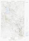
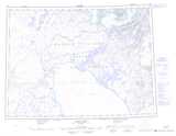
Maps showing Signal Hill, Nunavut
Signal Hill is a Mountain located in Nunavut.
- Latitude: 70° 35' North (decimal: 70.5832999)
- Longitude: 75° 10' West (decimal: -75.1666999)
- Topography Feature Category: Mountain
- Geographical Feature: Hill
- Canadian Province/Territory: Nunavut
- Atlas of Canada Locator Map: Signal Hill
- GPS Coordinate Locator Map: Signal Hill Lat/Long
Signal Hill NTS Map Sheets