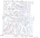
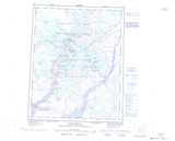
Maps showing Sivingavuk Glacier, Nunavut
Sivingavuk Glacier is a Glacier located in Nunavut and has an elevation of 1033 meters.
- Latitude: 66° 31' 5'' North (decimal: 66.5181000)
- Longitude: 65° 19' 10'' West (decimal: -65.3194000)
- Topography Feature Category: Glacier
- Geographical Feature: Glacier
- Canadian Province/Territory: Nunavut
- Elevation: 1033 meters
- Atlas of Canada Locator Map: Sivingavuk Glacier
- GPS Coordinate Locator Map: Sivingavuk Glacier Lat/Long
Sivingavuk Glacier NTS Map Sheets