Maps showing Sverdrup Islands, Nunavut
Sverdrup Islands is a Island located in Nunavut.
- Latitude: 79° 00' North (decimal: 78.9999999)
- Longitude: 96° 0' West (decimal: -96.0000000)
- Topography Feature Category: Island
- Geographical Feature: Islands
- Canadian Province/Territory: Nunavut
- Atlas of Canada Locator Map: Sverdrup Islands
- GPS Coordinate Locator Map: Sverdrup Islands Lat/Long
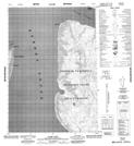
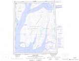
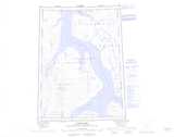
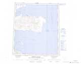
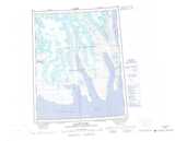
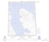
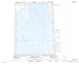
Sverdrup Islands NTS Map Sheets
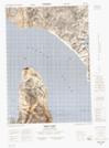
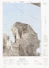
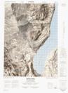
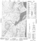
049G10 Depot Point Topographic Map at 1:50,000 scale
049G11 No Title Topographic Map at 1:50,000 scale
049G12 Mokka Fiord Topographic Map at 1:50,000 scale
049G13 Gibs Fiord Topographic Map at 1:50,000 scale
049G14 Hare Cape Topographic Map at 1:50,000 scale
049F Trold Fiord Topographic Map at 1:250,000 scale
049G Slidre Fiord Topographic Map at 1:250,000 scale
059C Cornwall Island Topographic Map at 1:250,000 scale
059E Glacier Fiord Topographic Map at 1:250,000 scale
069E Hassel Sound Topographic Map at 1:250,000 scale
069H Meighen Island Topographic Map at 1:250,000 scale