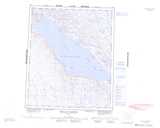
Maps showing Wager Bay, Nunavut
Wager Bay is a Bay located in Nunavut and has an elevation of 10 meters.
- Latitude: 65° 26' North (decimal: 65.4333000)
- Longitude: 88° 40' West (decimal: -88.6667000)
- Topography Feature Category: Bay
- Geographical Feature: Bay
- Canadian Province/Territory: Nunavut
- Elevation: 10 meters
- Atlas of Canada Locator Map: Wager Bay
- GPS Coordinate Locator Map: Wager Bay Lat/Long
Wager Bay NTS Map Sheets
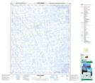
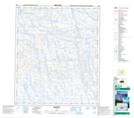
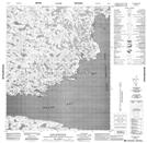
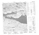
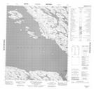
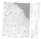
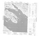
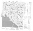
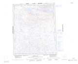
046E03 Cape Dobbs Topographic Map at 1:50,000 scale
046E04 No Title Topographic Map at 1:50,000 scale
046E05 No Title Topographic Map at 1:50,000 scale
046E06 Cape Montague Topographic Map at 1:50,000 scale
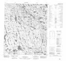
056G16 Reversing Falls Topographic Map at 1:50,000 scale
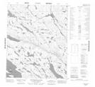
056H01 No Title Topographic Map at 1:50,000 scale
056H06 No Title Topographic Map at 1:50,000 scale
056H07 No Title Topographic Map at 1:50,000 scale
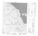
056H08 Nuvudlik Island Topographic Map at 1:50,000 scale
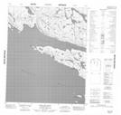
056H09 Ibjuriktuq Island Topographic Map at 1:50,000 scale
056H10 Tikilak Point Topographic Map at 1:50,000 scale
056H11 No Title Topographic Map at 1:50,000 scale
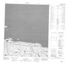
056H12 No Title Topographic Map at 1:50,000 scale
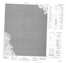
056H13 Bennett Bay Topographic Map at 1:50,000 scale
056H14 Aiqqujat Islands Topographic Map at 1:50,000 scale
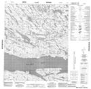
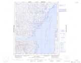
046E Cape Dobbs Topographic Map at 1:250,000 scale
056G Wager Bay Topographic Map at 1:250,000 scale
056H Douglas Harbour Topographic Map at 1:250,000 scale