Maps showing Yathkyed Lake, Nunavut
Yathkyed Lake is a Lake located in Nunavut and has an elevation of 152 meters.
- Latitude: 62° 40' North (decimal: 62.6666999)
- Longitude: 97° 58' West (decimal: -97.9667000)
- Topography Feature Category: Lake
- Geographical Feature: Lake
- Canadian Province/Territory: Nunavut
- Elevation: 152 meters
- Atlas of Canada Locator Map: Yathkyed Lake
- GPS Coordinate Locator Map: Yathkyed Lake Lat/Long
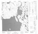
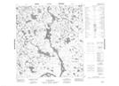
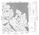
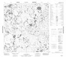
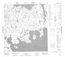
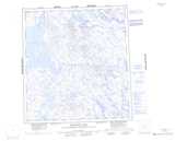
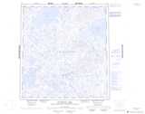
Yathkyed Lake NTS Map Sheets
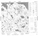
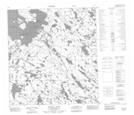
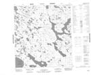
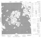
065I05 No Title Topographic Map at 1:50,000 scale
065I06 Weasel Point Topographic Map at 1:50,000 scale
065I11 No Title Topographic Map at 1:50,000 scale
065I12 Cairn Point Topographic Map at 1:50,000 scale
065I13 No Title Topographic Map at 1:50,000 scale
065J08 No Title Topographic Map at 1:50,000 scale
065J09 No Title Topographic Map at 1:50,000 scale
065J15 No Title Topographic Map at 1:50,000 scale
065J16 No Title Topographic Map at 1:50,000 scale
065I Ferguson Lake Topographic Map at 1:250,000 scale
065J Tulemalu Lake Topographic Map at 1:250,000 scale