Maps showing Nowleye River, Nunavut
Nowleye River is a River located in Nunavut.
- Latitude: 62° 17' 40'' North (decimal: 62.2944000)
- Longitude: 101° 11' 00'' West (decimal: -101.1833000)
- Topography Feature Category: River
- Geographical Feature: River
- Canadian Province/Territory: Nunavut
- Atlas of Canada Locator Map: Nowleye River
- GPS Coordinate Locator Map: Nowleye River Lat/Long
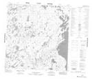
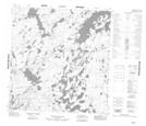
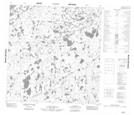
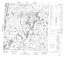
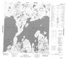
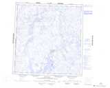
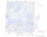
Nowleye River NTS Map Sheets
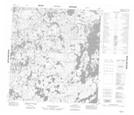
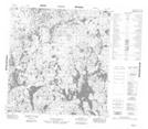
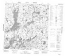
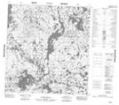
065F04 No Title Topographic Map at 1:50,000 scale
065F05 No Title Topographic Map at 1:50,000 scale
065F06 No Title Topographic Map at 1:50,000 scale
065F11 No Title Topographic Map at 1:50,000 scale
065F12 No Title Topographic Map at 1:50,000 scale
065F13 No Title Topographic Map at 1:50,000 scale
065F14 No Title Topographic Map at 1:50,000 scale
065K03 No Title Topographic Map at 1:50,000 scale
065K06 No Title Topographic Map at 1:50,000 scale
065F Ennadai Topographic Map at 1:250,000 scale
065K Kamilukuak Lake Topographic Map at 1:250,000 scale