Maps showing Devon Ice Cap, Nunavut
Devon Ice Cap is a Glacier located in Nunavut.
- Latitude: 75° 20' North (decimal: 75.3332999)
- Longitude: 82° 30' West (decimal: -82.4999999)
- Topography Feature Category: Glacier
- Geographical Feature: Ice Cap / Icecap
- Canadian Province/Territory: Nunavut
- Atlas of Canada Locator Map: Devon Ice Cap
- GPS Coordinate Locator Map: Devon Ice Cap Lat/Long
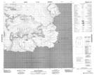
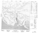
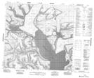
Devon Ice Cap NTS Map Sheets
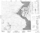
048E09 Hope Monument Topographic Map at 1:50,000 scale
048E10 Phoenix Head Topographic Map at 1:50,000 scale
048E11 Dundas Harbour Topographic Map at 1:50,000 scale
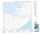
048E13 No Title Topographic Map at 1:50,000 scale
048E14 No Title Topographic Map at 1:50,000 scale
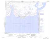
048E16 Bethune Inlet Topographic Map at 1:50,000 scale
048G09 Truelove Inlet Topographic Map at 1:50,000 scale
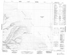
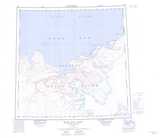
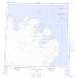
048E Dundas Harbour Topographic Map at 1:250,000 scale
048G Bear Bay East Topographic Map at 1:250,000 scale
048H Lady Ann Strait Topographic Map at 1:250,000 scale