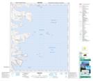
Maps showing Détroit de Davis, Nunavut
Détroit de Davis is a Channel located in Nunavut.
- Latitude: 65° 0' North (decimal: 65)
- Longitude: 58° 0' West (decimal: -58)
- Topography Feature Category: Channel
- Geographical Feature: Détroit
- Canadian Province/Territory: Nunavut
- Atlas of Canada Locator Map: Détroit de Davis
- GPS Coordinate Locator Map: Détroit de Davis Lat/Long
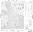
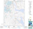
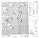
Détroit de Davis NTS Map Sheets
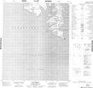
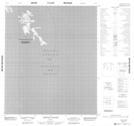
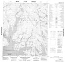
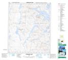
016D13 Cape Mercy Topographic Map at 1:50,000 scale
016D14 Leopold Island Topographic Map at 1:50,000 scale
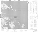
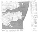
016E03 No Title Topographic Map at 1:50,000 scale
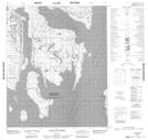
016E04 Aktijartukan Fiord Topographic Map at 1:50,000 scale
016E05 Tessialuk Lake Topographic Map at 1:50,000 scale
016E06 Ilikok Island Topographic Map at 1:50,000 scale
016E09 Angijak Island Topographic Map at 1:50,000 scale
016E10 Exaluin Fiord Topographic Map at 1:50,000 scale
016E11 Kekertaluk Island Topographic Map at 1:50,000 scale
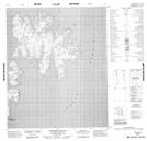
016E12 No Title Topographic Map at 1:50,000 scale
016E15 Ingnit Fiord Topographic Map at 1:50,000 scale
016E16 No Title Topographic Map at 1:50,000 scale
016K05 Mooneshine Fiord Topographic Map at 1:50,000 scale
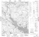
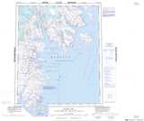
016E Hoare Bay Topographic Map at 1:250,000 scale
016D Map Not Available Topographic Map at 1:250,000 scale
016K Map Not Available Topographic Map at 1:250,000 scale