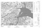
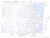
Maps showing Qikiqtalugjuaq Island, Nunavut
Qikiqtalugjuaq Island is a Island located in Nunavut.
- Latitude: 70° 8' 50'' North (decimal: 70.1471999)
- Longitude: 92° 21' 10'' West (decimal: -92.3527999)
- Topography Feature Category: Island
- Geographical Feature: Island
- Canadian Province/Territory: Nunavut
- Atlas of Canada Locator Map: Qikiqtalugjuaq Island
- GPS Coordinate Locator Map: Qikiqtalugjuaq Island Lat/Long