Canada Topographic Maps

Baillie River Topo Maps

Topography maps and Latitude/Longitude Location

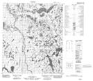
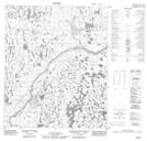
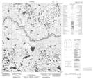
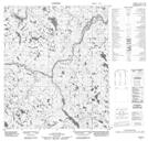
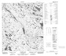
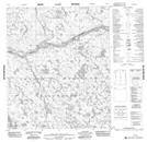
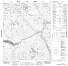
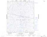
Maps showing Baillie River, Mackenzie, Nunavut

Baillie River is a River located in Mackenzie, Nunavut and has an elevation of 211 meters.

  • Latitude: 65° 7' 45'' North   (decimal: 65.1292000)
  • Longitude: 104° 36' 00'' West   (decimal: -104.5999999)
  • Topography Feature Category: River
  • Geographical Feature: River
  • Canadian Province/Territory: Nunavut
  • Elevation: 211 meters
  • Location: Mackenzie
  • Atlas of Canada Locator Map: Baillie River
  • GPS Coordinate Locator Map: Baillie River Lat/Long

Baillie River NTS Map Sheets

076A12 No Title Topographic Map at 1:50,000 scale

076A13 No Title Topographic Map at 1:50,000 scale

076A14 No Title Topographic Map at 1:50,000 scale

076A15 No Title Topographic Map at 1:50,000 scale

076A16 Conrod Lake Topographic Map at 1:50,000 scale

076H01 No Title Topographic Map at 1:50,000 scale

076H02 No Title Topographic Map at 1:50,000 scale

076A Baillie River Topographic Map at 1:250,000 scale

076H Duggan Lake Topographic Map at 1:250,000 scale

 
Buy Topographic Maps DVD
Newsletter Sign-up

Yes, I want to receive map store discounts.


Bookmark and Share