Canada Topographic Maps

Akimiski Island Bird Sanctuary Topo Maps

Topography maps and Latitude/Longitude Location

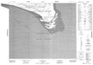
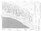
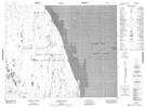
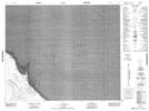
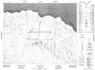
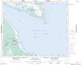
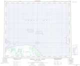
Maps showing Akimiski Island Bird Sanctuary, Nunavut

Akimiski Island Bird Sanctuary is a Conservation area located in Nunavut.

  • Latitude: 52° 55' North   (decimal: 52.9166999)
  • Longitude: 81° 5' West   (decimal: -81.0832999)
  • Topography Feature Category: Conservation area
  • Geographical Feature: Migratory Bird Sanctuary
  • Canadian Province/Territory: Nunavut
  • Atlas of Canada Locator Map: Akimiski Island Bird Sanctuary
  • GPS Coordinate Locator Map: Akimiski Island Bird Sanctuary Lat/Long

Akimiski Island Bird Sanctuary NTS Map Sheets

043A10 Cape Duncan Topographic Map at 1:50,000 scale

043A14 No Title Topographic Map at 1:50,000 scale

043A15 Albert Shoal Topographic Map at 1:50,000 scale

043H02 No Title Topographic Map at 1:50,000 scale

043H03 Houston Point Topographic Map at 1:50,000 scale

043A Fort Albany Topographic Map at 1:250,000 scale

043H Akimiski Island North Topographic Map at 1:250,000 scale

 
Buy Topographic Maps DVD
Newsletter Sign-up

Yes, I want to receive map store discounts.


Bookmark and Share