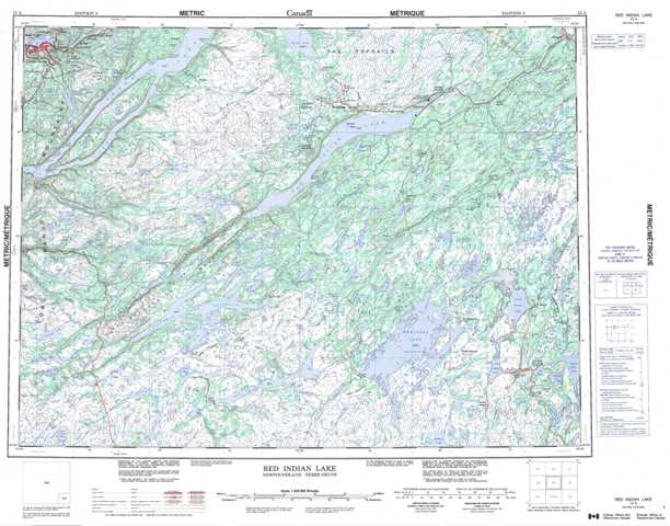
012A Red Indian Lake Topographic Maps
Maps for the Red Indian Lake map sheet 012A at 1:250,000 scale are available in 5 versions:
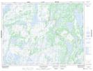
Topographic Map of Red Indian Lake
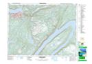
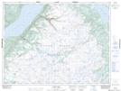
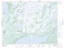
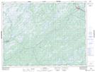
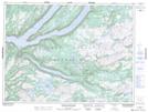
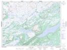
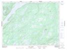
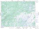
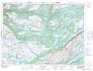
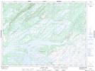
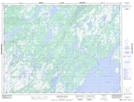
1:50,000 Scale Topos for Red Indian Lake 012A:
 |
 |
 |
 |
 |
 |
 |
 |
 |
 |
 |
 |
 |
 |
 |
 |
012A Related Maps:
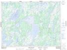
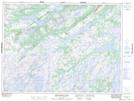
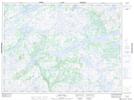
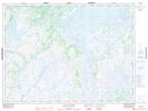
012A Red Indian Lake
012A01 Cold Spring Pond
012A02 Wolf Mountain
012A03 Burnt Pond
012A04 King George Iv Lake
012A05 Puddle Pond
012A06 Victoria Lake
012A07 Snowshoe Pond
012A08 Great Burnt Lake
012A09 Noel Paul's Brook
012A10 Lake Ambrose
012A11 Star Lake
012A12 Little Grand Lake
012A13 Corner Brook
012A14 Rainy Lake
012A15 Buchans
012A16 Badger
