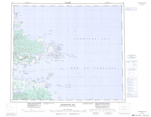
013I Groswater Bay Topographic Maps
Maps for the Groswater Bay map sheet 013I at 1:250,000 scale are available in 5 versions:
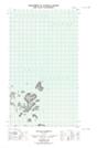
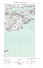
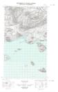
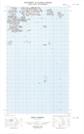
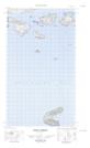
Topographic Map of Groswater Bay
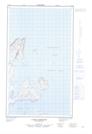
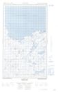
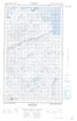
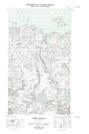
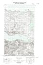
1:50,000 Scale Topos for Groswater Bay 013I:
 |
|||
  |
  |
||
  |
  |
 |
|
  |
  |
013I Related Maps:
013I Groswater Bay
013I03E West Bay
013I03W West Bay
013I04E Tinker Harbour
013I04W Tinker Harbour
013I05E Pottles Bay
013I05W Pottles Bay
013I06E Indian Harbour
013I06W Indian Harbour
013I07W White Bear Island
013I11E Holton Harbour
013I11W Holton Harbour
013I12E Byron Bay
013I12W Byron Bay
013I13W Cape Harrison
013I03E West Bay
013I03W West Bay
013I04E Tinker Harbour
013I04W Tinker Harbour
013I05E Pottles Bay
013I05W Pottles Bay
013I06E Indian Harbour
013I06W Indian Harbour
013I07W White Bear Island
013I11E Holton Harbour
013I11W Holton Harbour
013I12E Byron Bay
013I12W Byron Bay
013I13W Cape Harrison
