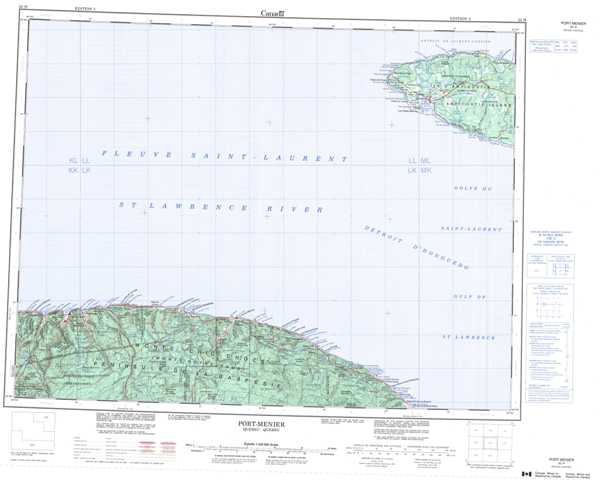
022H Port-Menier Topographic Maps
Maps for the Port-Menier map sheet 022H at 1:250,000 scale are available in 5 versions:
Topographic Map of Port-Menier
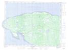
1:50,000 Scale Topos for Port-Menier 022H:
 |
|||
 |
|||
 |
 |
 |
 |
022H Related Maps:
022H Port-Menier
022H01 Petit-Cap
022H02 Cloridorme
022H03 Grande-Vallee
022H04 Mont-Louis
022H09 Riviere Aux Becs-Scie
022H16 Port-Menier
022H01 Petit-Cap
022H02 Cloridorme
022H03 Grande-Vallee
022H04 Mont-Louis
022H09 Riviere Aux Becs-Scie
022H16 Port-Menier
