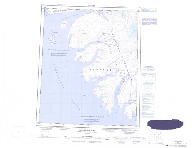
026H Abraham Bay Topographic Maps
Maps for the Abraham Bay map sheet 026H at 1:250,000 scale are available in 5 versions:
Topographic Map of Abraham Bay
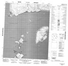
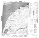
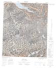
1:50,000 Scale Topos for Abraham Bay 026H:
 |
 |
 |
|
 |
 |
 |
|
 |
 |
 |
|
 |
 |
026H Related Maps:
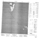
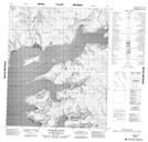
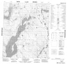
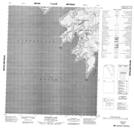
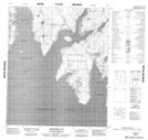
026H Abraham Bay
026H01 Abraham Bay
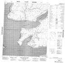
026H02 Queens Cape
026H06 Shomeo Point
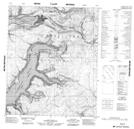
026H07 Kumlien Fiord
026H08 Ujuktuk Fiord
026H10 No Title
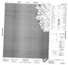
026H11 Iqalujjuaq Fiord
026H12 Kekerten Island
026H13 Kekertukdjuak Island
026H14 No Title
026H15 No Title
026H01 Abraham Bay
026H02 Queens Cape
026H06 Shomeo Point
026H07 Kumlien Fiord
026H08 Ujuktuk Fiord
026H10 No Title
026H11 Iqalujjuaq Fiord
026H12 Kekerten Island
026H13 Kekertukdjuak Island
026H14 No Title
026H15 No Title
