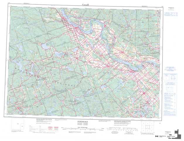
031F Pembroke Topographic Maps
Maps for the Pembroke map sheet 031F at 1:250,000 scale are available in 5 versions:
Topographic Map of Pembroke
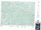
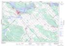
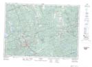
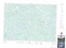
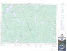
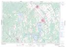
1:50,000 Scale Topos for Pembroke 031F:
 |
 |
 |
 |
 |
 |
 |
 |
 |
 |
 |
 |
 |
 |
 |
 |
031F Related Maps:
031F Pembroke
031F01 Carleton Place
031F02 Clyde Forks
031F03 Denbigh
031F04 Bancroft
031F05 Barry's Bay
031F06 Brudenell
031F07 Renfrew
031F08 Arnprior
031F09 Quyon
031F10 Cobden
031F11 Golden Lake
031F12 Round Lake
031F13 Achray
031F14 Pembroke
031F15 Fort-Coulonge
031F16 Kazabazua
031F01 Carleton Place
031F02 Clyde Forks
031F03 Denbigh
031F04 Bancroft
031F05 Barry's Bay
031F06 Brudenell
031F07 Renfrew
031F08 Arnprior
031F09 Quyon
031F10 Cobden
031F11 Golden Lake
031F12 Round Lake
031F13 Achray
031F14 Pembroke
031F15 Fort-Coulonge
031F16 Kazabazua
