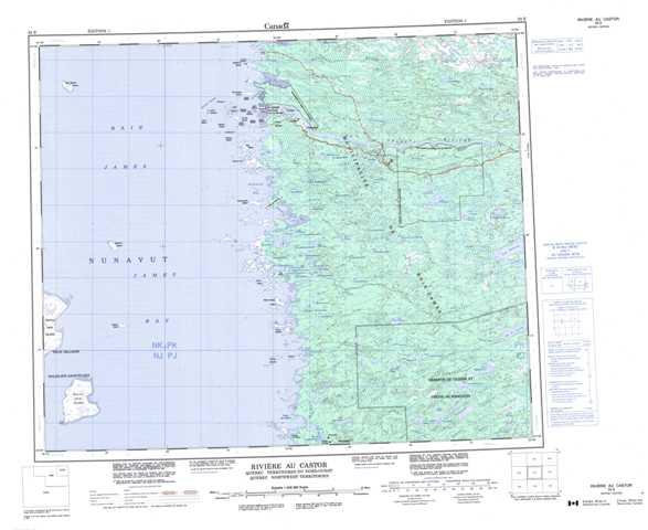
033E Riviere Au Castor Topographic Maps
Maps for the Riviere Au Castor map sheet 033E at 1:250,000 scale are available in 5 versions:
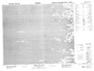
Topographic Map of Riviere Au Castor
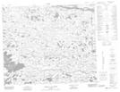
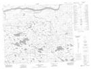
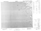
1:50,000 Scale Topos for Riviere Au Castor 033E:
 |
 |
 |
|
 |
 |
 |
|
 |
 |
 |
|
 |
 |
 |
033E Related Maps:
033E Riviere Au Castor
033E01
033E02 Lac Paint-Hills
033E03 No Title
033E06
033E07 Riviere Comb
033E08 Lac De L'Astree
033E09 Riviere Achazi
033E10 Riviere A La Truite
033E11 Akwatuk Bay
033E14 Stromness Island
033E15 Ile Goat
033E16
033E01
033E02 Lac Paint-Hills
033E03 No Title
033E06
033E07 Riviere Comb
033E08 Lac De L'Astree
033E09 Riviere Achazi
033E10 Riviere A La Truite
033E11 Akwatuk Bay
033E14 Stromness Island
033E15 Ile Goat
033E16
