042H Cochrane Topographic Maps
Maps for the Cochrane map sheet 042H at 1:250,000 scale are available in 5 versions:
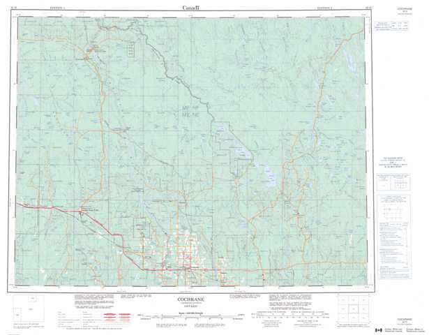
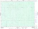
Topographic Map of Cochrane
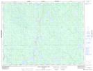
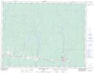
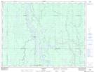
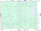
1:50,000 Scale Topos for Cochrane 042H:
 |
 |
 |
 |
 |
 |
 |
 |
 |
 |
 |
 |
 |
 |
 |
 |
042H Related Maps:
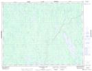
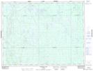
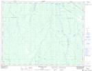
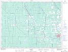
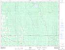
042H Cochrane
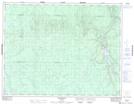
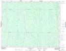
042H01 Mistango Lake
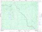
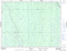
042H02 Abitibi
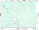
042H03 Cochrane
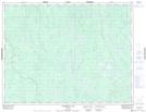
042H04 Bradburn Lake
042H05 Smooth Rock Falls
042H06 Gardiner
042H07 Little Abitibi Lake
042H08 Twopeak Lake
042H09 North Burntbush Lake
042H10 Montreuil Lake
042H11 Island Falls
042H12 Abimatinu River
042H13 Fraserdale
042H14 Takwata Lake
042H15 Tomorrow Lake
042H16 Lawagamau Lake
042H01 Mistango Lake
042H02 Abitibi
042H03 Cochrane
042H04 Bradburn Lake
042H05 Smooth Rock Falls
042H06 Gardiner
042H07 Little Abitibi Lake
042H08 Twopeak Lake
042H09 North Burntbush Lake
042H10 Montreuil Lake
042H11 Island Falls
042H12 Abimatinu River
042H13 Fraserdale
042H14 Takwata Lake
042H15 Tomorrow Lake
042H16 Lawagamau Lake
