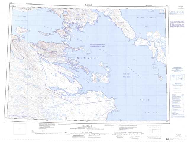
047D Igloolik Topographic Maps
Maps for the Igloolik map sheet 047D at 1:250,000 scale are available in 5 versions:
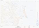
Topographic Map of Igloolik
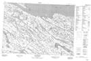
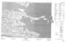
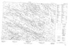
1:50,000 Scale Topos for Igloolik 047D:
 |
 |
||
 |
 |
 |
|
 |
 |
 |
047D Related Maps:
047D Igloolik
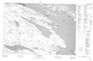
047D02 Pinger Point
047D03 No Title
047D04 No Title
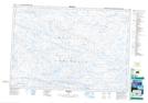
047D05 Tremblay Lake
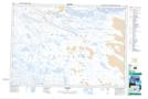
047D06 Coxe Islands
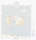
047D07 Igloolik Island
047D11 Richards Bay
047D12 Quilliam Bay
047D02 Pinger Point
047D03 No Title
047D04 No Title
047D05 Tremblay Lake
047D06 Coxe Islands
047D07 Igloolik Island
047D11 Richards Bay
047D12 Quilliam Bay
