064L Wollaston Lake Topographic Maps
Maps for the Wollaston Lake map sheet 064L at 1:250,000 scale are available in 5 versions:
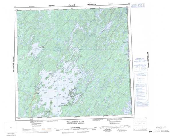
Topographic Map of Wollaston Lake
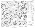
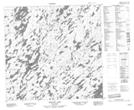
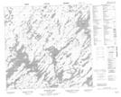
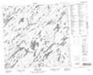
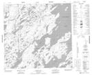
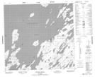
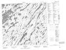
1:50,000 Scale Topos for Wollaston Lake 064L:
 |
 |
 |
 |
 |
 |
 |
 |
 |
 |
 |
 |
 |
 |
 |
 |
064L Related Maps:
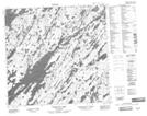
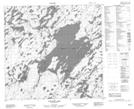
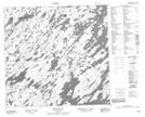
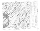
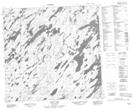
064L Wollaston Lake
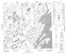
064L01 Zangeza Bay
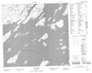
064L02 Fidler Bay
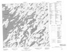
064L03 Hungry Island
064L04 Hidden Bay
064L05 Cunning Bay
064L06 Fife Island
064L07 Klemmer Lake
064L08 Metka Lake
064L09 Sava Lake
064L10 Wellbelove Bay
064L11 Killock Bay
064L12 Hatchet Lake
064L13 Babiche Lake
064L14 Bentley Lake
064L15 Bannock Lake
064L16 Charcoal Lake
064L01 Zangeza Bay
064L02 Fidler Bay
064L03 Hungry Island
064L04 Hidden Bay
064L05 Cunning Bay
064L06 Fife Island
064L07 Klemmer Lake
064L08 Metka Lake
064L09 Sava Lake
064L10 Wellbelove Bay
064L11 Killock Bay
064L12 Hatchet Lake
064L13 Babiche Lake
064L14 Bentley Lake
064L15 Bannock Lake
064L16 Charcoal Lake
