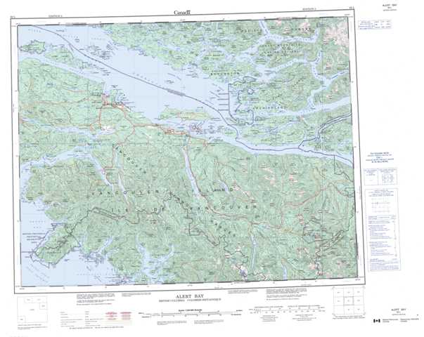
092L Alert Bay Topographic Maps
Maps for the Alert Bay map sheet 092L at 1:250,000 scale are available in 5 versions:
Topographic Map of Alert Bay
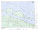
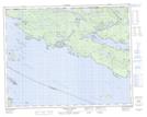
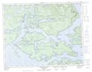
1:50,000 Scale Topos for Alert Bay 092L:
 |
 |
 |
 |
 |
 |
 |
 |
 |
 |
 |
 |
 |
 |
 |
 |
092L Related Maps:
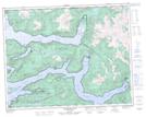
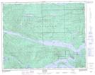
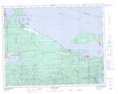
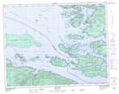
092L Alert Bay
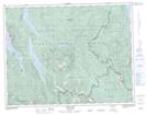
092L01 Schoen Lake
092L02 Woss Lake
092L03 Kyuquot
092L04 Brooks Peninsula
092L05 Mahatta Creek
092L06 Alice Lake
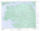
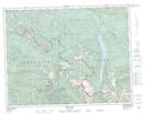
092L07 Nimpkish
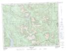
092L08 Adam River
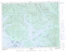
092L09 Minstrel Island
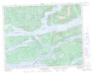
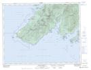
092L10 Alert Bay
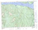
092L11 Port Mcneill
092L12 Quatsino
092L13 Shushartie
092L14 Bradley Lagoon
092L15 Broughton Island
092L16 Kingcome Inlet
092L01 Schoen Lake
092L02 Woss Lake
092L03 Kyuquot
092L04 Brooks Peninsula
092L05 Mahatta Creek
092L06 Alice Lake
092L07 Nimpkish
092L08 Adam River
092L09 Minstrel Island
092L10 Alert Bay
092L11 Port Mcneill
092L12 Quatsino
092L13 Shushartie
092L14 Bradley Lagoon
092L15 Broughton Island
092L16 Kingcome Inlet
