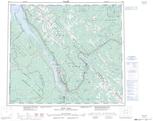
093O Pine Pass Topographic Maps
Maps for the Pine Pass map sheet 093O at 1:250,000 scale are available in 5 versions:
Topographic Map of Pine Pass
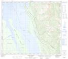
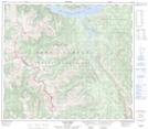
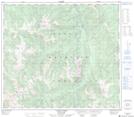
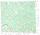
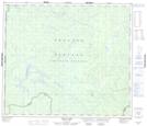
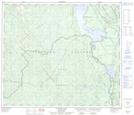
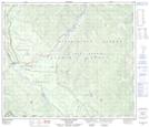
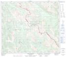
1:50,000 Scale Topos for Pine Pass 093O:
 |
 |
 |
 |
 |
 |
 |
 |
 |
 |
 |
 |
 |
 |
 |
 |
093O Related Maps:
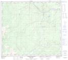
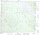
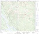
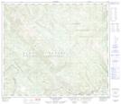
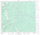
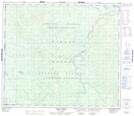
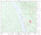
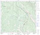
093O Pine Pass
093O01 Mount Reynolds
093O02 Colbourne Creek
093O03 Tudyah Lake
093O04 Philip Lakes
093O05 Philip Creek
093O06 Morfee Lakes
093O07 Azouzetta Lake
093O08 Le Moray Creek
093O09 Mount Hulcross
093O10 Callazon Creek
093O11 Cut Thumb Creek
093O12 Blackwater Creek
093O13 Mount Selwyn
093O14 Point Creek
093O15 Carbon Creek
093O16 Portage Mountain
