094A Charlie Lake Topographic Maps
Maps for the Charlie Lake map sheet 094A at 1:250,000 scale are available in 5 versions:
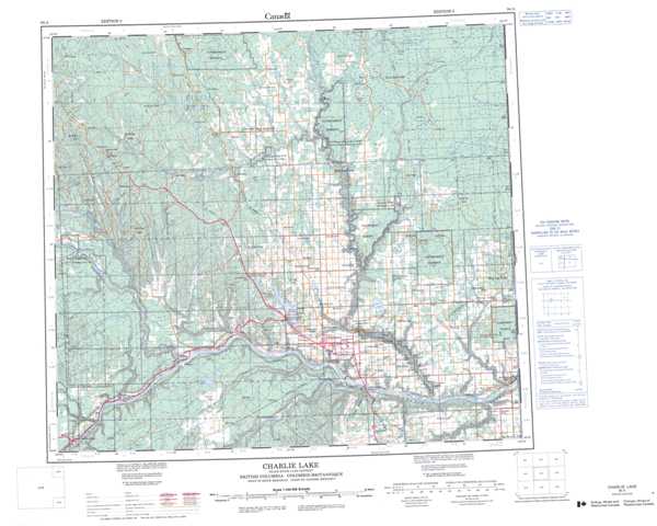
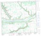
Topographic Map of Charlie Lake
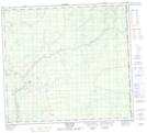
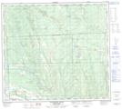
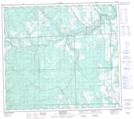
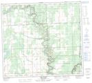
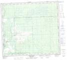
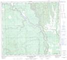
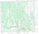
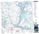
1:50,000 Scale Topos for Charlie Lake 094A:
 |
 |
 |
 |
 |
 |
 |
 |
 |
 |
 |
 |
 |
 |
 |
 |
094A Related Maps:
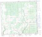
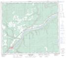
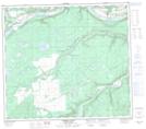
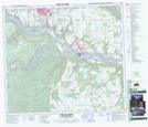
094A Charlie Lake
094A01 Shearer Dale
094A02 Fort St John
094A03 Moberly River
094A04 Hudson Hope
094A05 Ground Birch Creek
094A06 Bear Flat
094A07 North Pine
094A08 Alces River
094A09 Osborn River
094A10 Rose Prairie
094A11 Murdale
094A12 Deadhorse Creek
094A13 Aitken Creek
094A14 Snyder Creek
094A15 Milligan Creek
094A16 Doig River
