103H Douglas Channel Topographic Maps
Maps for the Douglas Channel map sheet 103H at 1:250,000 scale are available in 5 versions:
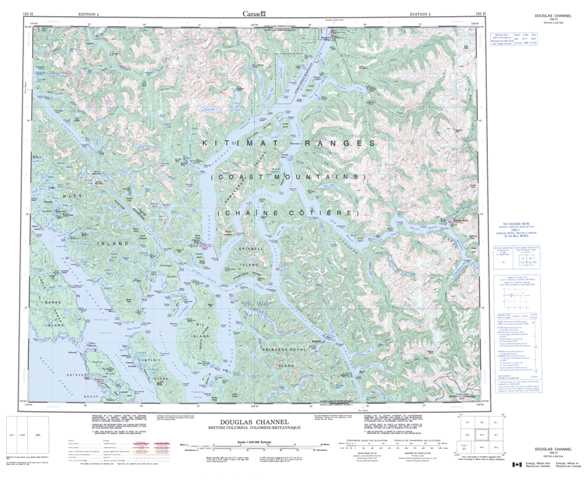
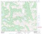
Topographic Map of Douglas Channel
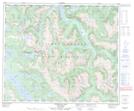
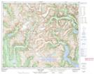
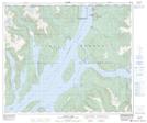
1:50,000 Scale Topos for Douglas Channel 103H:
 |
 |
 |
 |
 |
 |
 |
 |
 |
 |
 |
 |
 |
 |
 |
 |
103H Related Maps:
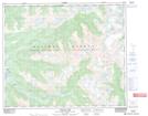
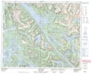
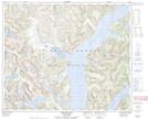
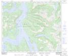
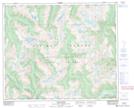
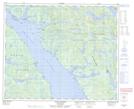
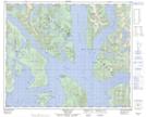
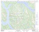
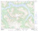
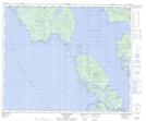
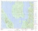
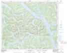
103H Douglas Channel
103H01 Khutze River
103H02 Butedale
103H03 Gil Island
103H04 Trutch Island
103H05 Port Stephens
103H06 Hartley Bay
103H07 Ursula Channel
103H08 Gardner Canal
103H09 Brim River
103H10 Devastation Channel
103H11 Kitkiata Inlet
103H12 Lowe Inlet
103H13 Kumealon Lake
103H14 Foch Lagoon
103H15 Kitimat Arm
103H16 Kildala Arm
