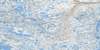
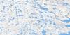
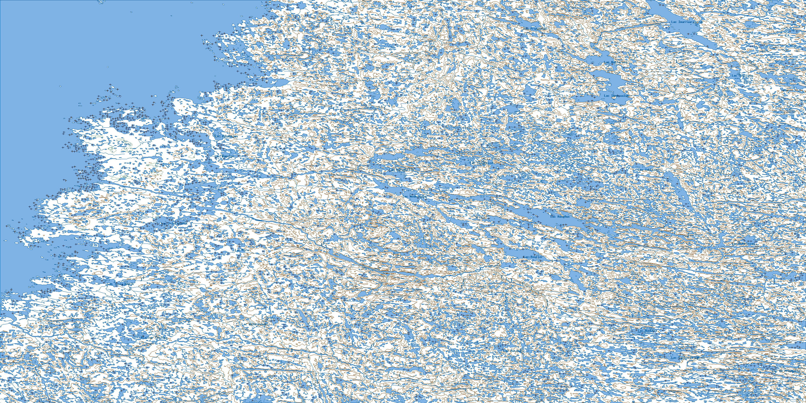
Kogaluk Bay Topo Map
Free Topo Maps Downloadable Online: 034N
034N Kogaluk Bay Topo Map
To view this map, mouse over the map preview on the right.
You can also download this topo map for free:
034N Kogaluk Bay high-resolution topo map image.
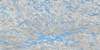
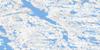
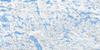
Maps for the Kogaluk Bay map sheet 034N at 1:250,000 scale are also available in these 4 versions:
Kogaluk Bay Surrounding Area Topos (NTS 034)
 |
 |
 |
|
 |
 |
 |
 |
 |
 |
 |
 |
 |
 |
 |
 |
© Department of Natural Resources Canada. All rights reserved.
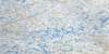
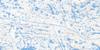
034N Kogaluk Bay Area Topo Maps at 1:50,000
 |
 |
 |
|
 |
 |
 |
 |
 |
 |
 |
 |
 |
 |
 |
 |
© Department of Natural Resources Canada. All rights reserved.
© Department of Natural Resources Canada. All rights reserved.
034N Related Maps:
034N Kogaluk Bay034N01 Lac Iqaluujarvik
034N02 Lac Rutche
034N03 Lac Qulurpaluk
034N04 Lac Nialiup Tasinga
034N05 Lac Tasiujaapik
034N06 Riviere Polemond
034N07 Lac Mangnuc
034N08 Lac Ajurissaq
034N09 Lac Vattier
034N10 Lac Siegfried
034N11 Lac Mirqulilik
034N12 Reef Bay
034N14 Cap Aupaluk
034N15 Lac Nalluruaq
034N16 Lac Souligny
