Cape Churchill Topo Map
Free Topo Maps Downloadable Online: 054K
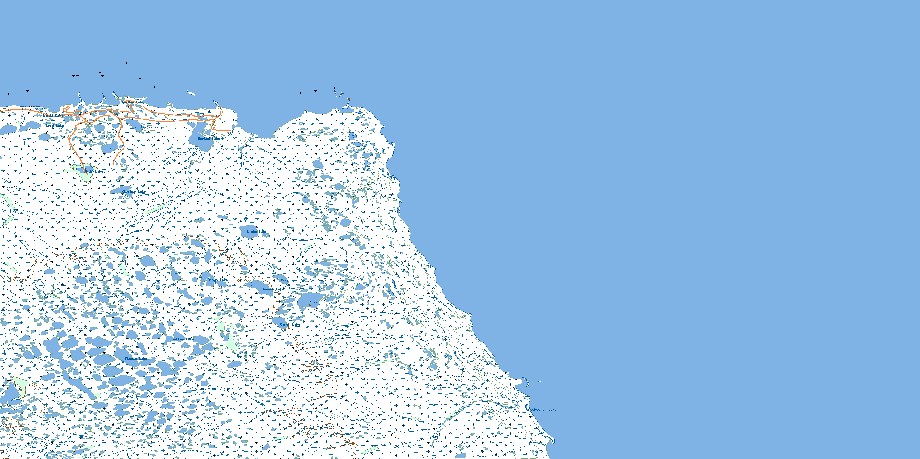
054K Cape Churchill Topo Map
To view this map, mouse over the map preview on the right.
You can also download this topo map for free:
054K Cape Churchill high-resolution topo map image.
Maps for the Cape Churchill map sheet 054K at 1:250,000 scale are also available in these 4 versions:
Cape Churchill Surrounding Area Topos (NTS 054)
 |
|||
 |
 |
||
 |
 |
 |
|
 |
 |
 |
 |
© Department of Natural Resources Canada. All rights reserved.
054K Cape Churchill Area Topo Maps at 1:50,000
 |

|
||
 |
 |
||

|

|
||

|

|

|
© Department of Natural Resources Canada. All rights reserved.
© Department of Natural Resources Canada. All rights reserved.
054K Related Maps:
054K Cape Churchill054K02W Broad River
054K03E Kelsey Creek
054K03W Kelsey Creek
054K04E Fletcher Lake
054K04W Fletcher Lake
054K05E Warkworth Creek
054K05W Warkworth Creek
054K06E Salmon Creek
054K06W Salmon Creek
054K11 White Whale River
054K12 Norton Lake
054K13 Knights Hill
054K14E Cape Churchill
054K14W Cape Churchill
