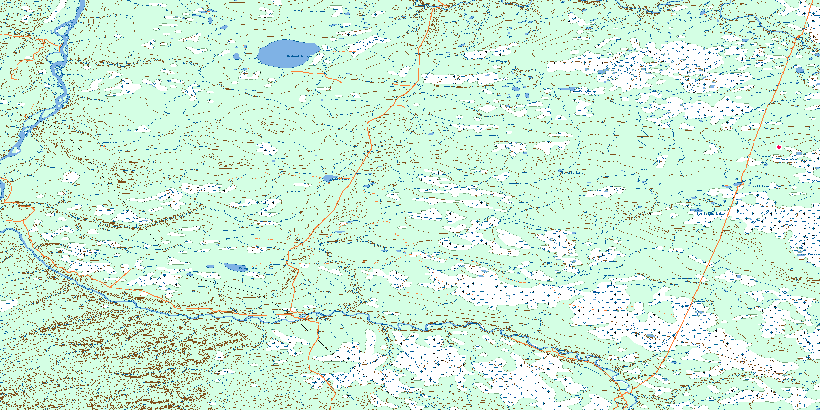
Maxhamish Lake Topo Map
Free Topo Maps Downloadable Online: 094O
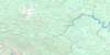
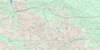
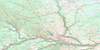
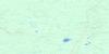
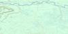
094O Maxhamish Lake Topo Map
To view this map, mouse over the map preview on the right.
You can also download this topo map for free:
094O Maxhamish Lake high-resolution topo map image.
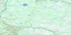
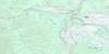
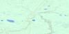
Maps for the Maxhamish Lake map sheet 094O at 1:250,000 scale are also available in these 4 versions:
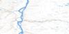
Maxhamish Lake Surrounding Area Topos (NTS 094)
 |
 |
 |
 |
 |
 |
 |
 |
 |
 |
 |
 |
 |
 |
 |
 |
© Department of Natural Resources Canada. All rights reserved.
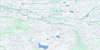
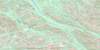
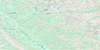
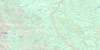
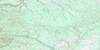
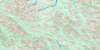
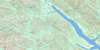
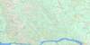
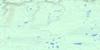
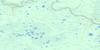
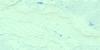
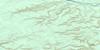
094O Maxhamish Lake Area Topo Maps at 1:50,000
|

|
|
|
|

|

|
|
|
|
||
|
|

|
© Department of Natural Resources Canada. All rights reserved.
© Department of Natural Resources Canada. All rights reserved.
094O Related Maps:
094O Maxhamish Lake094O01E Sahtaneh River
094O01W Sahtaneh River
094O02E Tsimeh Creek
094O02W Tsimeh Creek
094O03E Stanolind Creek
094O03W Stanolind Creek
094O04E Etane Creek
094O04W Etane Creek
094O05E Capot-Blanc Creek
094O05W Capot-Blanc Creek
094O06E Patry Lake
094O06W Patry Lake
094O07E Kiwigana River
094O07W Kiwigana River
094O08E Two Island Lake
094O08W Two Island Lake
094O09E Trail Lake
094O09W Trail Lake
094O10E Tightfit Lake
094O10W Tightfit Lake
094O11E Tsinhia Lake
094O11W Tsinhia Lake
094O12E La Jolie Butte
094O12W La Jolie Butte
094O13E Sandy Creek
094O13W Sandy Creek
094O14E Maxhamish Lake
094O14W Maxhamish Lake
094O15E Emile Creek
094O15W Emile Creek
094O16E Stanislas Creek
094O16W Stanislas Creek
