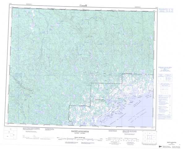
012O Saint-Augustin Topographic Maps
Maps for the Saint-Augustin map sheet 012O at 1:250,000 scale are available in 5 versions:
Topographic Map of Saint-Augustin
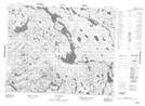
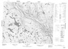
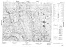
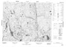
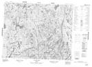
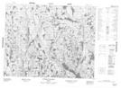
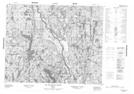
1:50,000 Scale Topos for Saint-Augustin 012O:
 |
 |
 |
 |
 |
 |
 |
 |
 |
 |
 |
 |
 |
 |
 |
 |
012O Related Maps:
012O Saint-Augustin
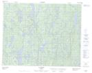
012O01 Ile Bayfield
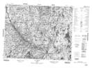
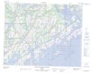
012O02 St-Augustin-Saguenay
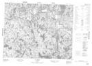
012O03 Lac Robertson
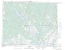
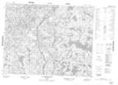
012O04 Lac Bernadette
012O05 Lac Verton
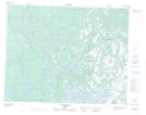
012O06 Lac Ferru
012O07 Lac Noyrot
012O08 Shekatika
012O09 Lac Tooker
012O10 Lac L'Ile Au Castor
012O11 Riviere A Saumon
012O12 Lac De Vitre
012O13 Lac Chenil
012O14 Lac Aticonipi
012O15 Lac Mery
012O16 Lac Gallet
012O01 Ile Bayfield
012O02 St-Augustin-Saguenay
012O03 Lac Robertson
012O04 Lac Bernadette
012O05 Lac Verton
012O06 Lac Ferru
012O07 Lac Noyrot
012O08 Shekatika
012O09 Lac Tooker
012O10 Lac L'Ile Au Castor
012O11 Riviere A Saumon
012O12 Lac De Vitre
012O13 Lac Chenil
012O14 Lac Aticonipi
012O15 Lac Mery
012O16 Lac Gallet
