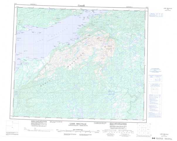
013G Lake Melville Topographic Maps
Maps for the Lake Melville map sheet 013G at 1:250,000 scale are available in 5 versions:
Topographic Map of Lake Melville
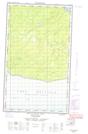
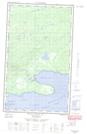
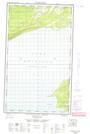
1:50,000 Scale Topos for Lake Melville 013G:
  |
  |
  |
  |
  |
  |
 |
 |
 |
 |
 |
 |
 |
 |
 |
 |
013G Related Maps:
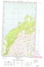
013G Lake Melville
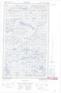
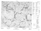
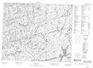
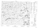
013G01 No Title
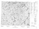
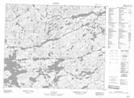
013G02 No Title
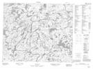
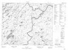
013G03 No Title
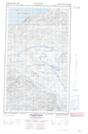
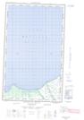
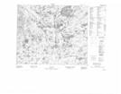
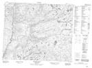
013G04 Kenamu River
013G05 Kenemich River
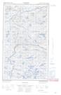
013G06 No Title
013G07 No Title
013G08 No Title
013G09 No Title
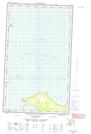
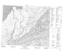
013G10 Etagaulet River
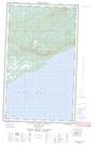
013G11E Eskimo Paps
013G11W Eskimo Paps
013G12E Epinette Point
013G12W Epinette Point
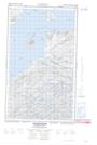
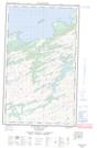
013G13E Mulligan Bay
013G13W Mulligan Bay
013G14E Etagaulet Point
013G14W Etagaulet Point
013G15E Neveisik Island
013G15W Neveisik Island
013G16E No Title
013G16W No Title
013G01 No Title
013G02 No Title
013G03 No Title
013G04 Kenamu River
013G05 Kenemich River
013G06 No Title
013G07 No Title
013G08 No Title
013G09 No Title
013G10 Etagaulet River
013G11E Eskimo Paps
013G11W Eskimo Paps
013G12E Epinette Point
013G12W Epinette Point
013G13E Mulligan Bay
013G13W Mulligan Bay
013G14E Etagaulet Point
013G14W Etagaulet Point
013G15E Neveisik Island
013G15W Neveisik Island
013G16E No Title
013G16W No Title
