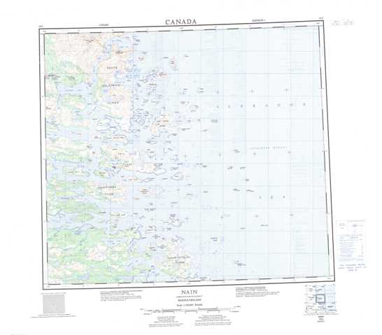
014C Nain Topographic Maps
Maps for the Nain map sheet 014C at 1:250,000 scale are available in 5 versions:
Topographic Map of Nain
1:50,000 Scale Topos for Nain 014C:
 |
 |
 |
|
 |
 |
 |
|
 |
 |
 |
|
 |
 |
 |
014C Related Maps:
014C Nain
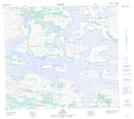
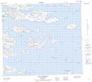
014C02 Spracklins Island
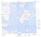
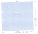
014C03 Akpiktok Island
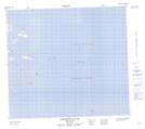
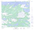
014C04 Garland Bight
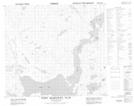
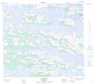
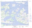
014C05 Kamarsuk
014C06 Ford Harbour
014C07 Satoaluk Island
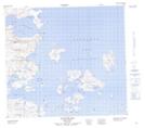
014C10 Chronicle Island
014C11 Dog Island
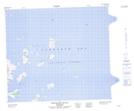
014C12 Nain
014C13 Port Manvers Run
014C14 David Island
014C15 Savage Islands
014C02 Spracklins Island
014C03 Akpiktok Island
014C04 Garland Bight
014C05 Kamarsuk
014C06 Ford Harbour
014C07 Satoaluk Island
014C10 Chronicle Island
014C11 Dog Island
014C12 Nain
014C13 Port Manvers Run
014C14 David Island
014C15 Savage Islands
