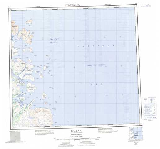
014F Nutak Topographic Maps
Maps for the Nutak map sheet 014F at 1:250,000 scale are available in 5 versions:
Topographic Map of Nutak
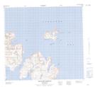
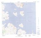
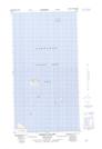
1:50,000 Scale Topos for Nutak 014F:
 |
|||
 |
 |
||
 |
 |
||
 |
 |
014F Related Maps:
014F Nutak
014F03 Cape Kiglapait
014F04 Avakutak Bay
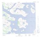
014F05 Nutak
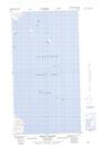
014F06 Kelpy Island
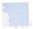
014F11 Saddle Island
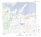
014F12 Okak Harbour
014F13 Mugford Harbour
014F03 Cape Kiglapait
014F04 Avakutak Bay
014F05 Nutak
014F06 Kelpy Island
014F11 Saddle Island
014F12 Okak Harbour
014F13 Mugford Harbour
