014M Cape White Handkerchief Topographic Maps
Maps for the Cape White Handkerchief map sheet 014M at 1:250,000 scale are available in 5 versions:
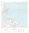
Topographic Map of Cape White Handkerchief

1:50,000 Scale Topos for Cape White Handkerchief 014M:
 |
|||
 |
 |
||
 |
 |
014M Related Maps:
014M Cape White Handkerchief
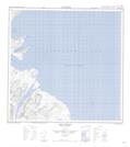
014M03 Gulch Cape
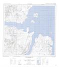
014M04 Nachvak Fiord
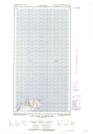
014M05 Seven Islands Bay
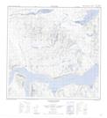
014M06W Cape White Handkerchief
014M12 Iron Strand
014M03 Gulch Cape
014M04 Nachvak Fiord
014M05 Seven Islands Bay
014M06W Cape White Handkerchief
014M12 Iron Strand
