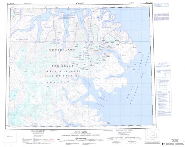
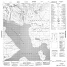
016L Cape Dyer Topographic Maps
Maps for the Cape Dyer map sheet 016L at 1:250,000 scale are available in 5 versions:
Topographic Map of Cape Dyer
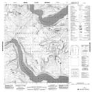
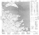
1:50,000 Scale Topos for Cape Dyer 016L:
 |
 |
 |
|
 |
|||
 |
 |
016L Related Maps:
016L Cape Dyer
016L01 Cape Walsingham
016L02 No Title
016L08 Mount Mischief
016L14 No Title
016L15 No Title
016L16 St Roch Harbour
016L01 Cape Walsingham
016L02 No Title
016L08 Mount Mischief
016L14 No Title
016L15 No Title
016L16 St Roch Harbour
