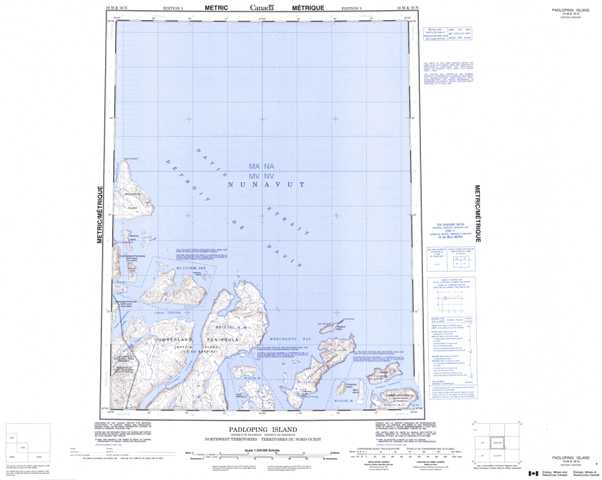
016M Padloping Island Topographic Maps
Maps for the Padloping Island map sheet 016M at 1:250,000 scale are available in 5 versions:
Topographic Map of Padloping Island
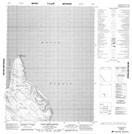
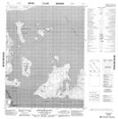
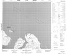
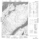
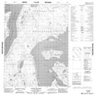
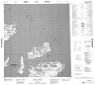
1:50,000 Scale Topos for Padloping Island 016M:
 |
|||
 |
 |
||
 |
 |
 |
 |
016M Related Maps:
016M Padloping Island
016M01 Block Island
016M02 Delight Anchorage
016M03 Duck Islands
016M04 No Title
016M05 Qukiavik Island
016M06 Qurlurtuq Island
016M12 Cape Broughton
016M01 Block Island
016M02 Delight Anchorage
016M03 Duck Islands
016M04 No Title
016M05 Qukiavik Island
016M06 Qurlurtuq Island
016M12 Cape Broughton
