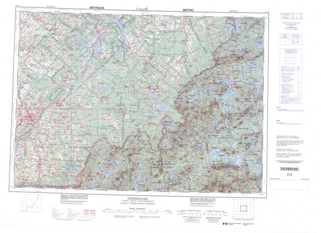
021E Sherbrooke Topographic Maps
Maps for the Sherbrooke map sheet 021E at 1:250,000 scale are available in 5 versions:
Topographic Map of Sherbrooke
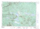
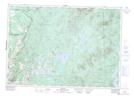
1:50,000 Scale Topos for Sherbrooke 021E:
 |
 |
 |
 |
 |
 |
 |
 |
 |
 |
 |
|
 |
 |
021E Related Maps:
021E Sherbrooke
021E03 Malvina
021E04 Coaticook
021E05 Sherbrooke
021E06 La Patrie
021E07 Woburn
021E09 Lac Emilie
021E10 Lac-Megantic
021E11 Scotstown
021E12 Wotton
021E13 Warwick
021E14 Disraeli
021E15 La Guadeloupe
021E16 Saint-Theophile
021E03 Malvina
021E04 Coaticook
021E05 Sherbrooke
021E06 La Patrie
021E07 Woburn
021E09 Lac Emilie
021E10 Lac-Megantic
021E11 Scotstown
021E12 Wotton
021E13 Warwick
021E14 Disraeli
021E15 La Guadeloupe
021E16 Saint-Theophile
