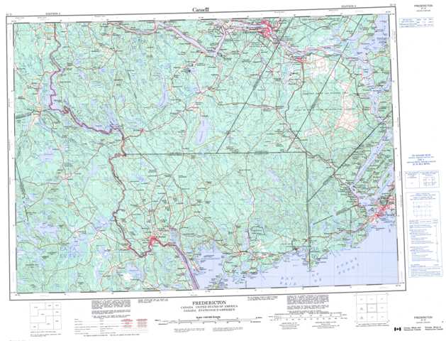
021G Fredericton Topographic Maps
Maps for the Fredericton map sheet 021G at 1:250,000 scale are available in 5 versions:
Topographic Map of Fredericton
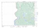
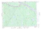
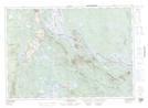
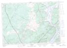
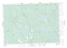
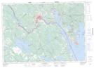
1:50,000 Scale Topos for Fredericton 021G:
 |
 |
 |
 |
 |
 |
 |
 |
 |
 |
 |
|
 |
 |
 |
021G Related Maps:
021G Fredericton
021G01 Musquash
021G02 St George
021G03 St Stephen
021G06 Rollingdam
021G07 Mcdougall Lake
021G08 Saint John
021G09 Hampstead
021G10 Fredericton Junction
021G11 Mcadam
021G12 Forest City
021G13 Fosterville
021G14 Canterbury
021G15 Fredericton
021G16 Grand Lake
021G01 Musquash
021G02 St George
021G03 St Stephen
021G06 Rollingdam
021G07 Mcdougall Lake
021G08 Saint John
021G09 Hampstead
021G10 Fredericton Junction
021G11 Mcadam
021G12 Forest City
021G13 Fosterville
021G14 Canterbury
021G15 Fredericton
021G16 Grand Lake
