021L Quebec Topographic Maps
Maps for the Quebec map sheet 021L at 1:250,000 scale are available in 5 versions:
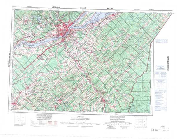
Topographic Map of Quebec
1:50,000 Scale Topos for Quebec 021L:
 |
 |
 |
 |
 |
 |
 |
 |
 |
 |
 |
 |
 |
 |
 |
 |
021L Related Maps:
021L Quebec
021L01 Saint-Zacharie
021L02 Beauceville
021L03 Thetford Mines
021L04 Victoriaville
021L05 Lyster
021L06 Saint-Sylvestre
021L07 St-Joseph-De-Beauce
021L08 Sainte-Justine
021L09 Saint-Magloire
021L10 Saint-Malachie
021L11 Charny
021L12 Portneuf
021L13 Saint-Raymond
021L14 Quebec
021L15 Saint-Raphael
021L16 Notre-Dame-Du-Rosaire
