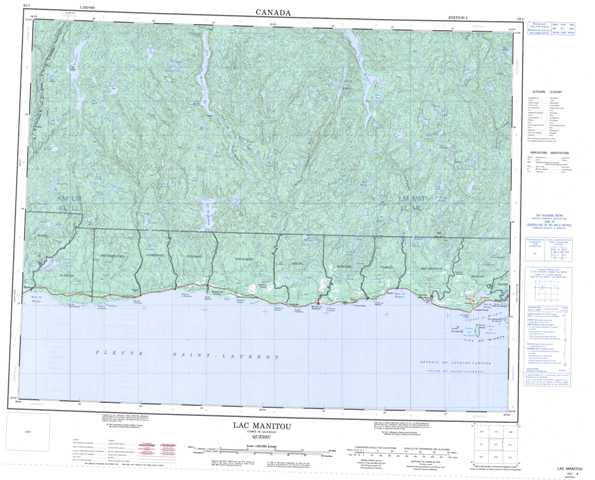
022I Lac Manitou Topographic Maps
Maps for the Lac Manitou map sheet 022I at 1:250,000 scale are available in 5 versions:
Topographic Map of Lac Manitou
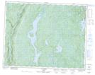
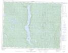
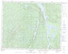
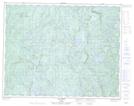
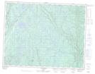
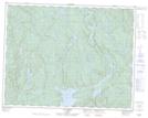
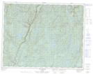
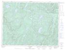
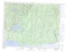
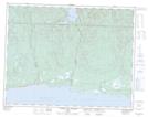
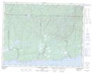
1:50,000 Scale Topos for Lac Manitou 022I:
 |
 |
 |
 |
 |
 |
 |
 |
 |
 |
 |
 |
 |
022I Related Maps:
022I Lac Manitou
022I01 Ile Nue De Mingan
022I05 Lac Matamec
022I06 Riviere Aux Graines
022I07 Riviere-Au-Tonnerre
022I08 Mingan
022I09 Lac Esnault
022I10 Lac A Renard
022I11 Lac Brezel
022I12 Lac Cacaoni
022I13 Lac Nipisso
022I14 Lac Manitou
022I15 Lac De La Mine
022I16 Lac Ternet
022I01 Ile Nue De Mingan
022I05 Lac Matamec
022I06 Riviere Aux Graines
022I07 Riviere-Au-Tonnerre
022I08 Mingan
022I09 Lac Esnault
022I10 Lac A Renard
022I11 Lac Brezel
022I12 Lac Cacaoni
022I13 Lac Nipisso
022I14 Lac Manitou
022I15 Lac De La Mine
022I16 Lac Ternet
