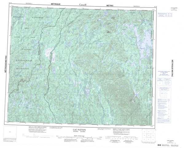
022M Lac Pletipi Topographic Maps
Maps for the Lac Pletipi map sheet 022M at 1:250,000 scale are available in 5 versions:
Topographic Map of Lac Pletipi
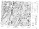
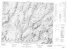
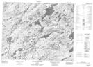
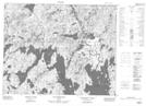
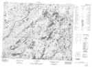
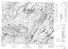
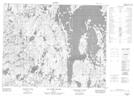
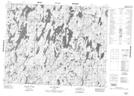
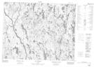
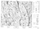
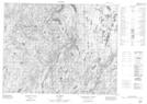
1:50,000 Scale Topos for Lac Pletipi 022M:
 |
 |
 |
 |
 |
 |
 |
 |
 |
 |
 |
 |
 |
 |
 |
 |
022M Related Maps:
022M Lac Pletipi
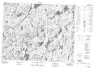
022M01 Lac Brue
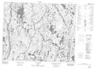
022M02 Lac Des Sept Milles
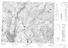
022M03 Lac Allenou
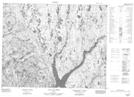
022M04 Lac Palairet
022M05 Lac Des Deux Milles
022M06 Lac Natipi
022M07 Lac Piacouadie
022M08 Lac A La Croix
022M09 Lac Aubin-Tellier
022M10 Lac Pambrun
022M11 Lac Courtois
022M12 Lac L'Epinay
022M13 Lac Indicateur
022M14 Riviere Epervanche
022M15 Lac Du Cran Casse
022M16 Lac Maublant
022M01 Lac Brue
022M02 Lac Des Sept Milles
022M03 Lac Allenou
022M04 Lac Palairet
022M05 Lac Des Deux Milles
022M06 Lac Natipi
022M07 Lac Piacouadie
022M08 Lac A La Croix
022M09 Lac Aubin-Tellier
022M10 Lac Pambrun
022M11 Lac Courtois
022M12 Lac L'Epinay
022M13 Lac Indicateur
022M14 Riviere Epervanche
022M15 Lac Du Cran Casse
022M16 Lac Maublant
