023H Ossokmanuan Reservoir Topographic Maps
Maps for the Ossokmanuan Reservoir map sheet 023H at 1:250,000 scale are available in 5 versions:
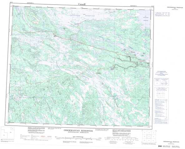
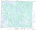
Topographic Map of Ossokmanuan Reservoir
1:50,000 Scale Topos for Ossokmanuan Reservoir 023H:
 |
 |
 |
 |
 |
 |
 |
 |
 |
 |
 |
 |
 |
 |
 |
 |
023H Related Maps:
023H Ossokmanuan Reservoir
023H01 Chaulk Lake
023H02 Panchia Lake
023H03 Riviere Aux Poissons
023H04 No Title
023H05 Cissy Lake
023H06 Ossok Mountain
023H07 Baikie Lake
023H08 No Title
023H09 Churchill Falls
023H10 Raft River
023H11 Way Bay
023H12 Colville Lake
023H13 Sims Lake
023H14 Sandgrit Peak
023H15 No Title
023H16 Hook Bay
