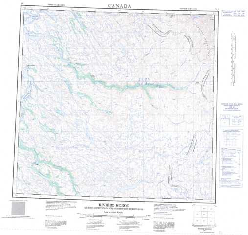
024I Riviere Koroc Topographic Maps
Maps for the Riviere Koroc map sheet 024I at 1:250,000 scale are available in 5 versions:
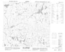
Topographic Map of Riviere Koroc
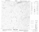
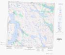
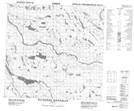
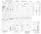
1:50,000 Scale Topos for Riviere Koroc 024I:
 |
 |
 |
 |
 |
 |
 |
 |
 |
 |
 |
 |
 |
 |
 |
 |
024I Related Maps:
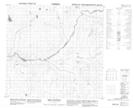
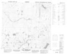
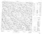
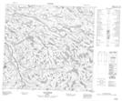
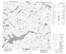
024I Riviere Koroc
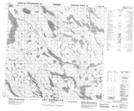
024I01 Lac Biraben
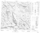
024I02 Lac Tasirlaq
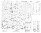
024I03 Lac Ijurvik
024I04 Rapides Sarvakallak
024I05 Lac Kupaaluk
024I06 Mt Nuvulialuk
024I07 Lac Brumath
024I08 Lac Tasiguluk
024I09 Mont Haywood
024I10 Chute Korluktok
024I11 Ruisseau Naksaluk
024I12 Kangiqsualujjuaq
024I13 Lac Qarliik
024I14 Lac Amaruartuq
024I15 Lac Thoynard
024I16 Mount Silene
024I01 Lac Biraben
024I02 Lac Tasirlaq
024I03 Lac Ijurvik
024I04 Rapides Sarvakallak
024I05 Lac Kupaaluk
024I06 Mt Nuvulialuk
024I07 Lac Brumath
024I08 Lac Tasiguluk
024I09 Mont Haywood
024I10 Chute Korluktok
024I11 Ruisseau Naksaluk
024I12 Kangiqsualujjuaq
024I13 Lac Qarliik
024I14 Lac Amaruartuq
024I15 Lac Thoynard
024I16 Mount Silene
