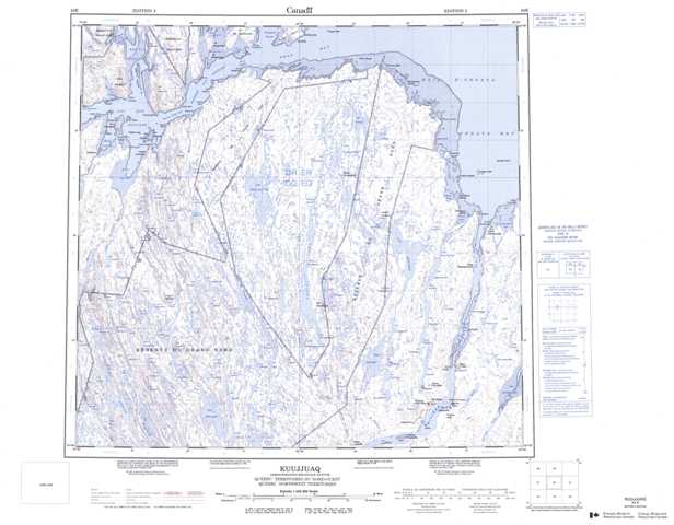
024K Kuujjuaq Topographic Maps
Maps for the Kuujjuaq map sheet 024K at 1:250,000 scale are available in 5 versions:
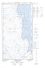
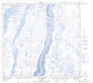
Topographic Map of Kuujjuaq
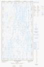
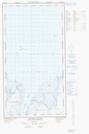
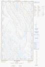
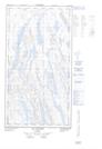
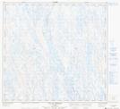
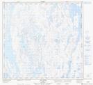
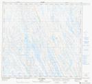
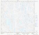
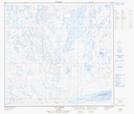
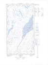
1:50,000 Scale Topos for Kuujjuaq 024K:
 |
  |
 |
 |
 |
 |
  |
  |
  |
 |
 |
 |
 |
 |
 |
  |
024K Related Maps:
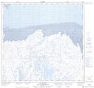
024K Kuujjuaq
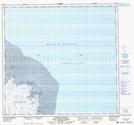
024K01E Kuujjuaq
024K01W Kuujjuaq
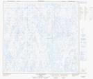
024K02 Lac Gabriel
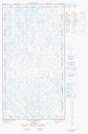
024K03 Lac Thevenet
024K04 Lac Gerido
024K05E Lac Harveng
024K05W Lac Harveng
024K06 Lac De Freneuse
024K07 Lac Diana
024K08 Ile Hendry
024K09E Anchor Island
024K09W Anchor Island
024K10E Lac Du Basalte
024K10W Lac Du Basalte
024K11 Lac Ballantyne
024K12 Tasiujaq
024K13 Lac Lucille
024K14E Passage Aux Feuilles
024K14W Passage Aux Feuilles
024K15 Lac Kaslac
024K16 Pointe Ragged
024K01E Kuujjuaq
024K01W Kuujjuaq
024K02 Lac Gabriel
024K03 Lac Thevenet
024K04 Lac Gerido
024K05E Lac Harveng
024K05W Lac Harveng
024K06 Lac De Freneuse
024K07 Lac Diana
024K08 Ile Hendry
024K09E Anchor Island
024K09W Anchor Island
024K10E Lac Du Basalte
024K10W Lac Du Basalte
024K11 Lac Ballantyne
024K12 Tasiujaq
024K13 Lac Lucille
024K14E Passage Aux Feuilles
024K14W Passage Aux Feuilles
024K15 Lac Kaslac
024K16 Pointe Ragged
