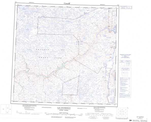
024L Lac Dufreboy Topographic Maps
Maps for the Lac Dufreboy map sheet 024L at 1:250,000 scale are available in 5 versions:
Topographic Map of Lac Dufreboy
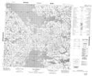
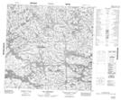
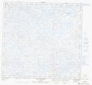
1:50,000 Scale Topos for Lac Dufreboy 024L:
 |
 |
 |
 |
 |
 |
 |
  |
 |
 |
 |
 |
 |
 |
 |
 |
024L Related Maps:
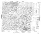
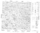
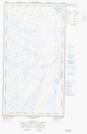
024L Lac Dufreboy
024L01 Lac Jourdan
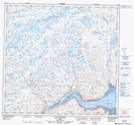
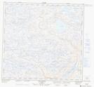
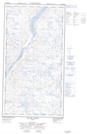
024L02 Lac Dufreboy
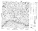
024L03 Lac Carlier
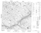
024L04 Riviere Qijuttuuq
024L05 Riviere Cohade
024L06 Ruisseau Boulain
024L07 Lac Herault
024L08 Lac Dusay
024L09E Lac Du Canot
024L09W Lac Du Canot
024L10 Lac Dulhut
024L11 Lac Viennaux
024L12 Lac Billeron
024L13 Lac Lugerat
024L14 Lac Guerestin
024L15 Lac Guenyveau
024L16 Lac Fanfan
024L01 Lac Jourdan
024L02 Lac Dufreboy
024L03 Lac Carlier
024L04 Riviere Qijuttuuq
024L05 Riviere Cohade
024L06 Ruisseau Boulain
024L07 Lac Herault
024L08 Lac Dusay
024L09E Lac Du Canot
024L09W Lac Du Canot
024L10 Lac Dulhut
024L11 Lac Viennaux
024L12 Lac Billeron
024L13 Lac Lugerat
024L14 Lac Guerestin
024L15 Lac Guenyveau
024L16 Lac Fanfan
