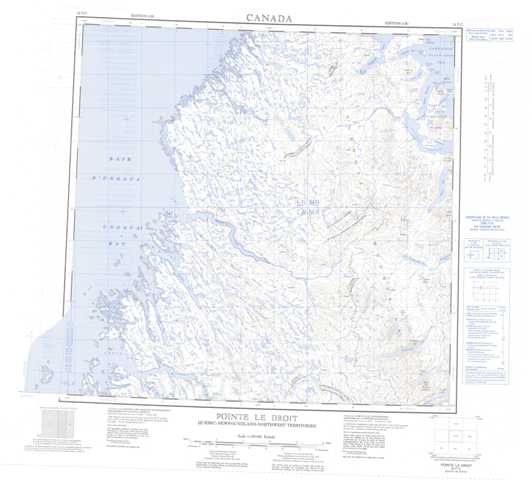
024P Pointe Le Droit Topographic Maps
Maps for the Pointe Le Droit map sheet 024P at 1:250,000 scale are available in 5 versions:
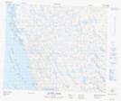
Topographic Map of Pointe Le Droit
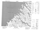
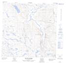
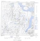
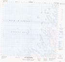
1:50,000 Scale Topos for Pointe Le Droit 024P:
 |
 |
 |
|
 |
 |
 |
|
 |
 |
 |
 |
 |
 |
 |
 |
024P Related Maps:
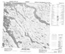
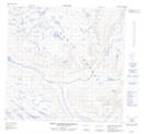
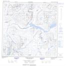
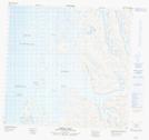
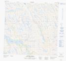
024P Pointe Le Droit
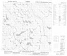
024P01 Komaktorvik Lakes
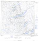
024P02 Lac Malchelosse
024P03 Riviere Abrat
024P04 Keglo Bay
024P05 Cap Kattaktoc
024P06 Abloviak Fiord
024P07 Mont Jacques-Rousseau
024P08 Tower Mountain
024P09 Ryans Bay
024P10 Lac De Loriere
024P11 Riviere Lepers
024P14 Bell Inlet
024P15 Lac Baret
024P16 Eclipse Harbour
024P01 Komaktorvik Lakes
024P02 Lac Malchelosse
024P03 Riviere Abrat
024P04 Keglo Bay
024P05 Cap Kattaktoc
024P06 Abloviak Fiord
024P07 Mont Jacques-Rousseau
024P08 Tower Mountain
024P09 Ryans Bay
024P10 Lac De Loriere
024P11 Riviere Lepers
024P14 Bell Inlet
024P15 Lac Baret
024P16 Eclipse Harbour
