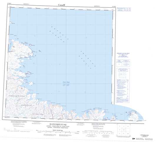
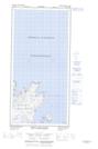
025E Kangiqsujuaq Topographic Maps
Maps for the Kangiqsujuaq map sheet 025E at 1:250,000 scale are available in 5 versions:
Topographic Map of Kangiqsujuaq
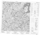
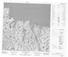
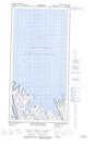
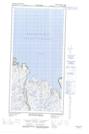
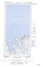
1:50,000 Scale Topos for Kangiqsujuaq 025E:
 |
|||
  |
|||
 |
 |
  |
  |
025E Related Maps:
025E Kangiqsujuaq
025E01E Pointe Jean-Talon
025E01W Pointe Jean-Talon
025E02E Pointe De Tracy
025E02W Pointe De Tracy
025E03 Pointe Upirngivik
025E04 Riviere Masset
025E05E Whitley Bay
025E05W Whitley Bay
025E12 Kangiqsujuaq
025E01E Pointe Jean-Talon
025E01W Pointe Jean-Talon
025E02E Pointe De Tracy
025E02W Pointe De Tracy
025E03 Pointe Upirngivik
025E04 Riviere Masset
025E05E Whitley Bay
025E05W Whitley Bay
025E12 Kangiqsujuaq
