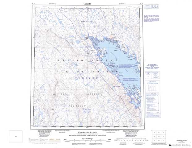
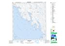
025N Armshow River Topographic Maps
Maps for the Armshow River map sheet 025N at 1:250,000 scale are available in 5 versions:
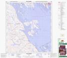
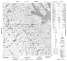
Topographic Map of Armshow River
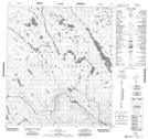
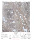
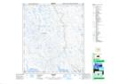
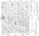
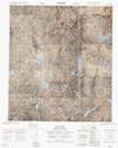
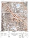
1:50,000 Scale Topos for Armshow River 025N:
 |
 |
 |
 |
 |
 |
 |
 |
 |
 |
 |
 |
 |
 |
 |
 |
025N Related Maps:
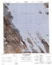
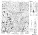
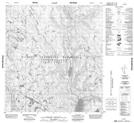
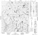
025N Armshow River
025N01 Eggleston Bay
025N02 No Title
025N03 No Title
025N04 Mount Moore
025N05 Mount Joy
025N06 No Title
025N07 No Title
025N08 No Title
025N09 Burton Bay
025N10 Hill Island
025N11 Kynersley Lake
025N12 No Title
025N13 No Title
025N14 Jordan River
025N15 Iqaluit
025N16 No Title
025N01 Eggleston Bay
025N02 No Title
025N03 No Title
025N04 Mount Moore
025N05 Mount Joy
025N06 No Title
025N07 No Title
025N08 No Title
025N09 Burton Bay
025N10 Hill Island
025N11 Kynersley Lake
025N12 No Title
025N13 No Title
025N14 Jordan River
025N15 Iqaluit
025N16 No Title
