026P Okoa Bay Topographic Maps
Maps for the Okoa Bay map sheet 026P at 1:250,000 scale are available in 5 versions:
Topographic Map of Okoa Bay
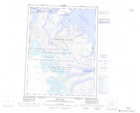
1:50,000 Scale Topos for Okoa Bay 026P:
 |
 |
 |
|
 |
 |
 |
|
 |
|||
 |
026P Related Maps:
026P Okoa Bay
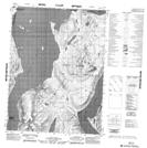
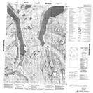
026P01 No Title
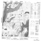
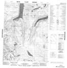
026P08 Kingnelling Fiord
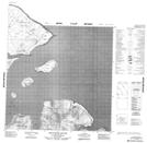
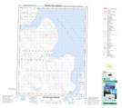
026P09 Broughton Harbour
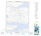
026P10 No Title
026P11 Quajon Fiord
026P13 No Title
026P14 No Title
026P15 Idjuniving Island
026P01 No Title
026P08 Kingnelling Fiord
026P09 Broughton Harbour
026P10 No Title
026P11 Quajon Fiord
026P13 No Title
026P14 No Title
026P15 Idjuniving Island
