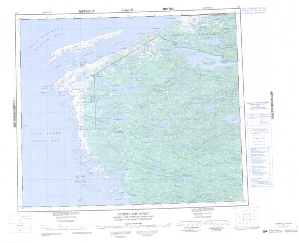
033L Pointe Louis-Xiv Topographic Maps
Maps for the Pointe Louis-Xiv map sheet 033L at 1:250,000 scale are available in 5 versions:
Topographic Map of Pointe Louis-Xiv
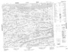
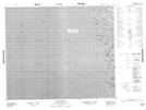
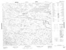
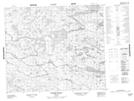
1:50,000 Scale Topos for Pointe Louis-Xiv 033L:
 |
 |
 |
 |
 |
 |
 |
 |
 |
 |
 |
 |
 |
 |
 |
033L Related Maps:
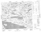
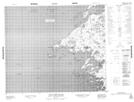
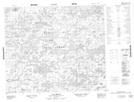
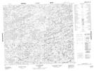
033L Pointe Louis-Xiv
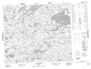
033L01 Lac Amounet
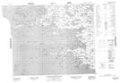
033L02 Riviere Coureaud
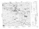
033L03 Pointe Kakachischuane
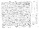
033L05 Bare Island
033L06 Roggan-River
033L07 Riviere Perras
033L08 Lac Darontal
033L09 Lac Caillaud
033L10 Lac Savignon
033L11 Lac Ominuk
033L12 Cape Jones Island
033L13 No Title
033L14 Pointe Majuriarvik
033L15 Pointe Vauquelin
033L16 Lac Lomier
033L01 Lac Amounet
033L02 Riviere Coureaud
033L03 Pointe Kakachischuane
033L05 Bare Island
033L06 Roggan-River
033L07 Riviere Perras
033L08 Lac Darontal
033L09 Lac Caillaud
033L10 Lac Savignon
033L11 Lac Ominuk
033L12 Cape Jones Island
033L13 No Title
033L14 Pointe Majuriarvik
033L15 Pointe Vauquelin
033L16 Lac Lomier
