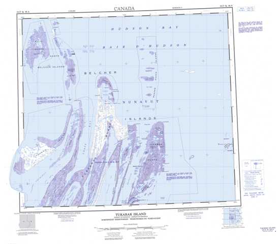
034D Tukarak Island Topographic Maps
Maps for the Tukarak Island map sheet 034D at 1:250,000 scale are available in 5 versions:
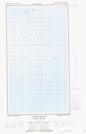
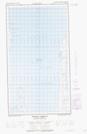
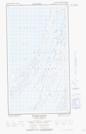
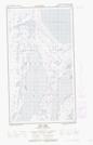
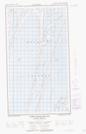
Topographic Map of Tukarak Island
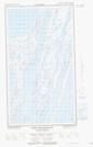
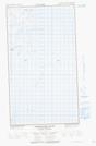
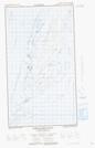
1:50,000 Scale Topos for Tukarak Island 034D:
  |
|||
  |
  |
||
  |
  |
  |
|
  |
  |
  |
034D Related Maps:
034D Tukarak Island
034D02E Fairweather Sound
034D02W Fairweather Sound
034D03E Upper Wetalltok Bay
034D03W Upper Wetalltok Bay
034D04E Churchill Sound
034D04W Churchill Sound
034D05E Kugong Island
034D05W Kugong Island
034D06E East Arm
034D06W East Arm
034D07E Cape Bartlett
034D07W Cape Bartlett
034D11E Eskimo Harbour
034D11W Eskimo Harbour
034D12E Johnson Island
034D12W Johnson Island
034D13E North Belcher Islands
034D13W North Belcher Islands
