035F Kovik Bay Topographic Maps
Maps for the Kovik Bay map sheet 035F at 1:250,000 scale are available in 5 versions:
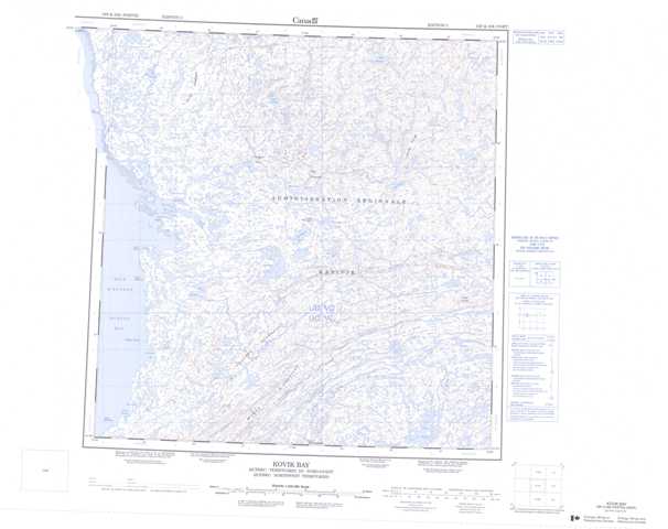
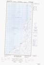
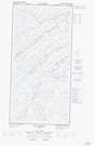
Topographic Map of Kovik Bay
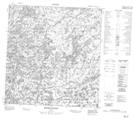
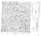
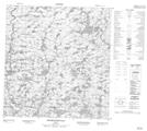
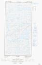
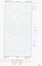
1:50,000 Scale Topos for Kovik Bay 035F:
 |
 |
 |
 |
 |
 |
 |
 |
  |
  |
  |
  |
  |
  |
  |
  |
035F Related Maps:
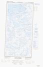
035F Kovik Bay
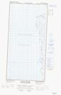
035F01E Lac Juet
035F01W Lac Juet
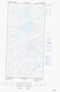
035F02E Lac Vigneau
035F02W Lac Vigneau
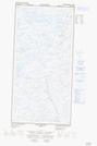
035F03E Lac Carye
035F03W Lac Carye
035F04E Kettlestone Bay
035F04W Kettlestone Bay
035F05E Pointe Bernier
035F05W Pointe Bernier
035F06E Lac Lanyan
035F06W Lac Lanyan
035F07E Lac Begin
035F07W Lac Begin
035F08E Lac Hubert
035F08W Lac Hubert
035F09 Colline Talluq
035F10 Lac Bilson
035F11 Lac Atirtusiurvik
035F12 Kovik Bay
035F13 Riviere Frichet
035F14 Riviere Durouvray
035F15 Riviere Derville
035F16 Lac Amarurtuuq
035F01E Lac Juet
035F01W Lac Juet
035F02E Lac Vigneau
035F02W Lac Vigneau
035F03E Lac Carye
035F03W Lac Carye
035F04E Kettlestone Bay
035F04W Kettlestone Bay
035F05E Pointe Bernier
035F05W Pointe Bernier
035F06E Lac Lanyan
035F06W Lac Lanyan
035F07E Lac Begin
035F07W Lac Begin
035F08E Lac Hubert
035F08W Lac Hubert
035F09 Colline Talluq
035F10 Lac Bilson
035F11 Lac Atirtusiurvik
035F12 Kovik Bay
035F13 Riviere Frichet
035F14 Riviere Durouvray
035F15 Riviere Derville
035F16 Lac Amarurtuuq
